


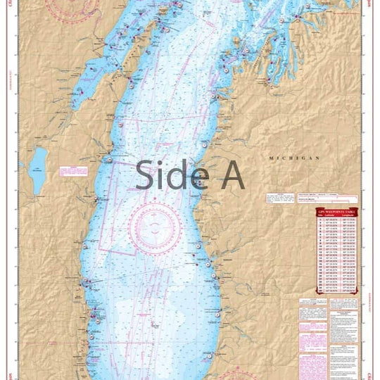
Upper Chesapeake Bay Maptech Waterproof Chartkit Region 4.1 2nd Edition
SKU:
5764
Upper Chesapeake Bay Maptech Waterproof Chartkit Region 4.1 2nd Edition
Maptech Chartkit Upper Chesapeake Bay Region 4.1, 2nd Edition Waterproof
- C & D Canal to Solomans Island (Includes Delaware Bay and River to Philadelphia)
- 70 Waterproof Chart Pages (See chart page index-inside front cover)
- GPS Waypoints & Courses
OTHER PRODUCT
Other Product Picked For You


Sold out
Sale


Sold out
Sale


Sold out
Sale

Sold out
Sale
Sold out
Sale

Sold out
Sale
Sold out
Sale
Sold out
Sale
Sold out
Sale
Sold out
Sale