
Collection: CHARTS, CHART BOOKS, CRUISING GUIDES & NAVIGATIONAL AIDS
Charts, Chart Books, Cruising Guides, Maps And Navigational Aids
-
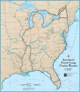
America's Great Loop (AGLCA) Cruise Routes Poster Waterproof Chart (23" x 26.5") 5/6/2026 THIS CHART IS IN STOCK 5/6/2026
![]()
- Regular price
- $25.00
- Sale price
- $25.00
- Regular price
-
- Unit price
- per
Sold out -
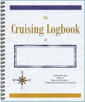
America's Great Loop (AGLCA) Cruising Logbook 8/20/2025 THIS LOGBOOK IS IN STOCK 8/20/2025
![]()
- Regular price
- $19.95
- Sale price
- $19.95
- Regular price
-
- Unit price
- per
Sold out -
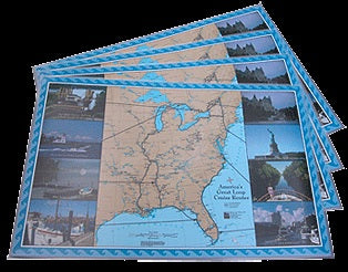
America's Great Loop (AGLCA) Place Maps (Place Mats) 11" x 17" OBSOLETE 5/18/2026 THIS ITEM IS IN STOCK 5/18/2026
![]()
- Regular price
- $15.00
- Sale price
- $15.00
- Regular price
-
- Unit price
- per
Sold out -
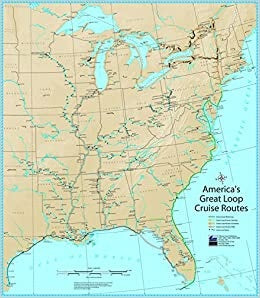
America's Great Loop Cruise Routes Mini-Map Waterproof Chart 5/6/2026 THIS CHART IS IN STOCK 5/6/2026
![]()
- Regular price
- $15.00
- Sale price
- $15.00
- Regular price
-
- Unit price
- per
Sold out -
Block Island, RI to the Canadian Border Region 2, 18th Edition Richardson's Maptech Chartkit 8/20/2025 THIS CHART IS IN STOCK 8/20/2025
![]()

- Regular price
- $149.99
- Sale price
- $149.99
- Regular price
-
- Unit price
- per
Sold out -
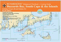
Buzzards Bay, South Cape & the Islands Richardson's Waterproof Chartbook & Cruising Guide 4th Edition 5/6/2026 THIS PART IS IN STOCK 5/6/2026
![]()
- Regular price
- $59.95
- Sale price
- $59.95
- Regular price
-
- Unit price
- per
Sold out -
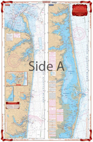
Cape May to Sandy Hook, NJ Waterproof Chart WP-56 1/20/2026 THIS PART IS IN STOCK 1/20/2026
![]()
- Regular price
- $31.99
- Sale price
- $31.99
- Regular price
-
- Unit price
- per
Sold out -
Chicago & Lake Michigan Waterproof Chart WP-70 8/20/2025 THIS CHART IS IN STOCK 8/20/2025
![]()

- Regular price
- $31.99
- Sale price
- $31.99
- Regular price
-
- Unit price
- per
Sold out


- Page 1 of 10
- Next page