


Northern Lake Michigan Waterproof Chart WP-72 8/20/2025 THIS CHART IS IN STOCK 8/20/2025
SKU:
WP-72
Northern Lake Michigan WP72
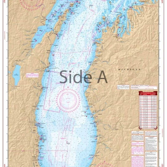
This chart overall coverage of the northern section of the lake from Frankfort, Michigan and Green Bay, Wisconsin, north to the Straits of Macinac. Chart provides details for the Grays Reef Passage and the Washington Island, Wisconsin area. Chart covers all of Green Bay and Door County.
The reverse side of this chart covers the Grand Traverse and Little Traverse Bay area, with detailed harbor insets for Traverse City, Suttons Bay, Elk Rapids, Northport, Harbor Springs, Petoskey and Charlevoix.
5 NOAA Charts: #14902, #14909, #14911, #14913, and #14942. Nautical Chart is 25″ X 38″
"8/20/2025 THIS CHART IS IN STOCK 8/20/2025"
OTHER PRODUCT
Other Product Picked For You


Sold out
Sale


Sold out
Sale


Sold out
Sale

Sold out
Sale

Sold out
Sale

Sold out
Sale
Sold out
Sale
Sold out
Sale

Sold out
Sale
