
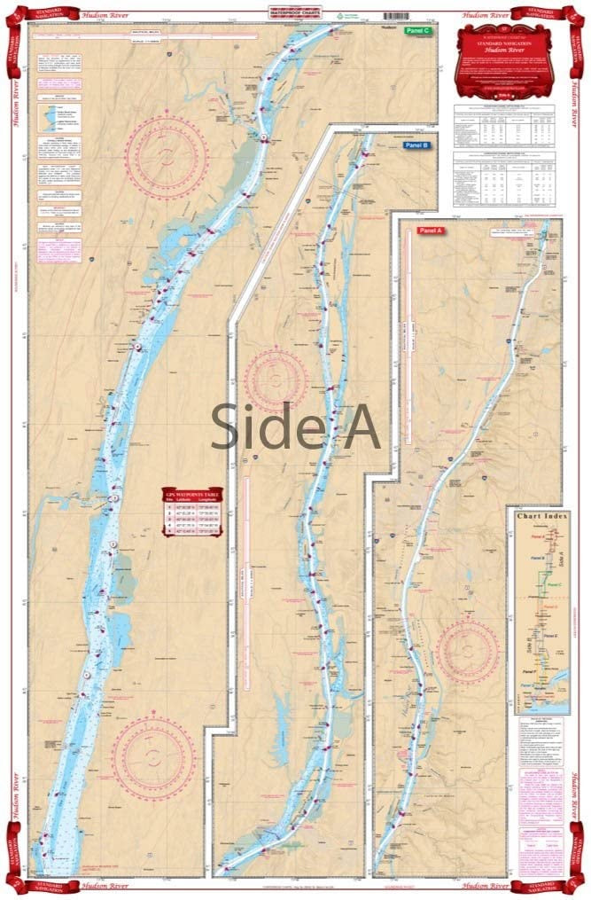
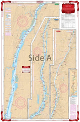
Hudson River Waterproof Chart WP-57
SKU:
WP-57
Hudson River Waterproof Chart WP57
This chart covers the complete river from New York City to Albany on a single sheet! Starting at the George Washington Bridge, this chart covers the entire river north through Nyack, Peekskill, West Point, Poughkeepsie, Catskill, Hudson and through Albany to the Federal Locks at Troy.
This navigation chart has color keyed panels make the nautical chart easy to read and understand. Large print place names make areas easy to find.
3 NOAA Charts, including #12348. Nautical Chart is 25″ X 38″
OTHER PRODUCT
Other Product Picked For You


Sold out
Sale


Sold out
Sale


Sold out
Sale

Sold out
Sale

Sold out
Sale

Sold out
Sale
Sold out
Sale
Sold out
Sale

Sold out
Sale
