


Block Island, RI to the Canadian Border Region 2, 18th Edition Richardson's Maptech Chartkit 8/20/2025 THIS CHART IS IN STOCK 8/20/2025
SKU:
6871
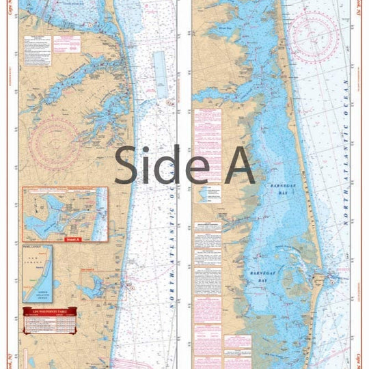
Block Island, RI to the Canadian Border Region 2, 18th Edition Richardson's Maptech Chartkit
Block Island, R.I. to the Canadian Border
Maptech's ChartKits are full-color reproductions of NOAA charts bundled together in large cruising regions. Chartbook Companion Software included free with continental ChartKit books.
- 88 Chart Pages
- More than 500 GPS Lat/Lon Waypoints
- Lat/Lon Minute Grids for easy reference
- Save hundreds of dollars on charts
- Free Digital Companion Charts & Software
A Great Value You’ll save up to 90% compared to the cost of purchasing individual government charts. The Perfect Size Large enough to plot routes; small enough to fit on your lap.
Easy to Use Pre-plotted waypoints and lat/long grids for your GPS; magnetic courses for your compass. Fully Referenced Geographic and alphabetical indexes quickly point you to the right page.
"8/20/2025 THIS CHART IS IN STOCK as of 8/20/2025"
OTHER PRODUCT
Other Product Picked For You


Sold out
Sale


Sold out
Sale


Sold out
Sale

Sold out
Sale

Sold out
Sale
Sold out
Sale
Sold out
Sale

Sold out
Sale

Sold out
Sale

Sold out
Sale